www.RiverBollin.info
How To Use The Storm Overflow Map
19th August 2024
| Home | Report a Problem | Pollution Journal | Sewers & Drains | The Sewage Works | Farm Run-Off | Invasive Species | How to Help | Who's Involved | River Facts | River Jargon |
You can now get maps for your phone showing the 'Nearly Live' status of storm overflows, and consequently when it is a bad time to go in the river.
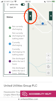
As you may know, there are a number of combined sewer overflows that discharge into the Bollin, normally only after very heavy rain.
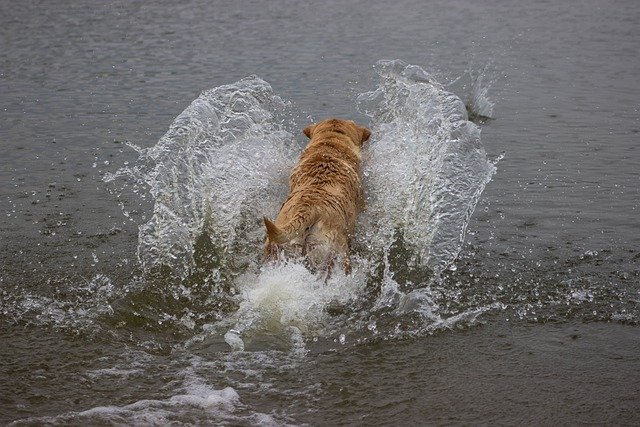
The most commonly discharging overflows are away from public view, so until now it has been difficult to know when is not a good time to bathe in the river, or let your dog go in the river.
The Rivers Trust have
a map of the whole UK. It's a bit slow to open,
but you can skip the 'Subscribe Now' option, to press the 'Find My
Location' button
![]() .
.
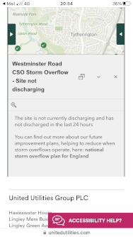
If you touch the map icons, they reveal detail of the overflow.
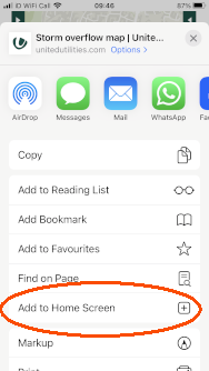
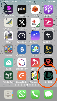
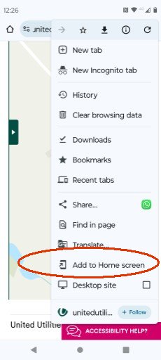
See how to add a link on your homescreen here
.
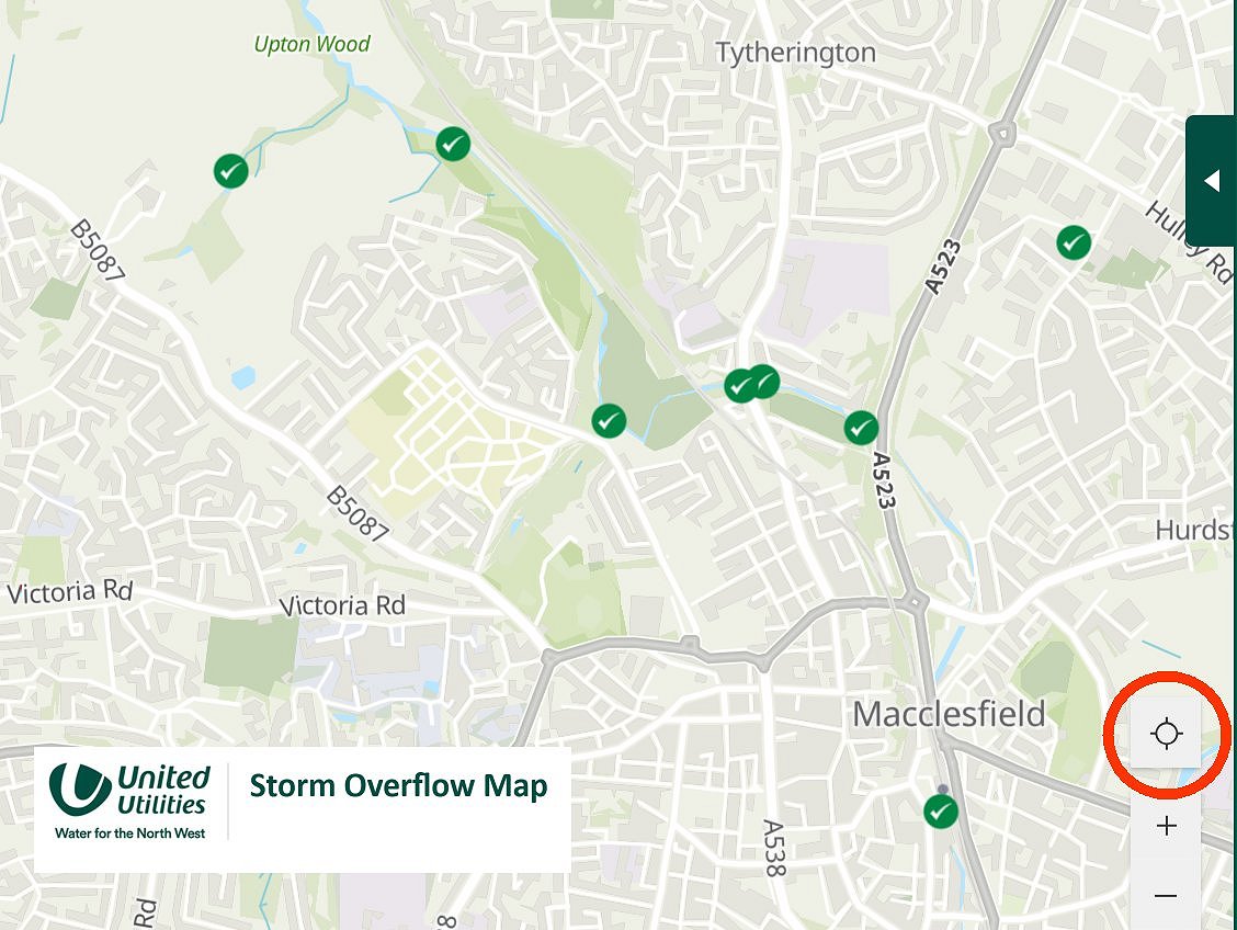
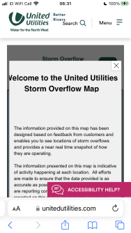
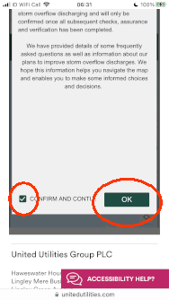
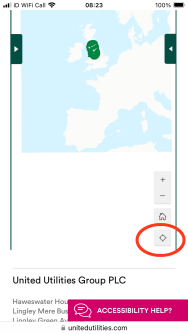
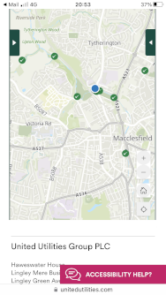
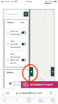
United Utilities have
a map of their region.
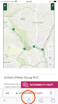
These maps are most useful on a phone when walking beside a river,
but this one is a bit tricky on smaller (120mm) screens.
The notes below explain some of the features, how to add the map to
your home screen, and where to find this 'My Location' button:-
![]()


Similar maps are available from other water companies here .
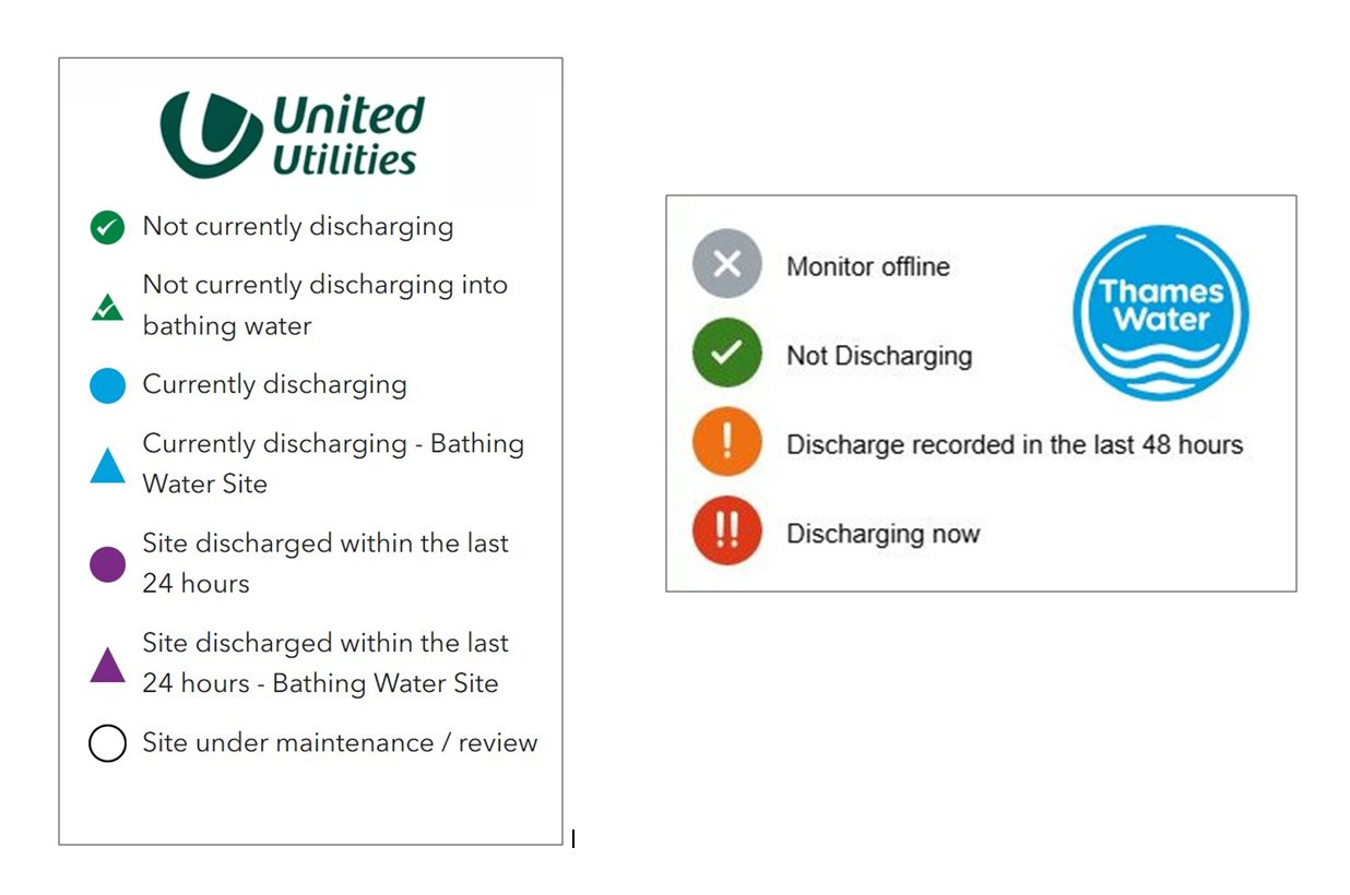
The differing colour coding of the map symbols is 'interesting',
only Thames Water and The Rivers Trust use the obvious red/amber/green:-