Safer Cycling Routes in Macclesfield.
When you make a car journey through Macclesfield, you might think that traffic is too heavy for safe cycling.
But the best route in a car is often not the best route on a bike.
There are many quiet routes across town, well away from the main thoroughfares and scary roundabouts, making use of side roads, the parks, and shortcuts that are blocked off for cars but not for bikes.

The map below illustrates some possibilities that you might not know of.
If you open it on your phone, Google maps will show you where you are.
In narrow places, always give way to pedestrians; treat them with the consideration you would like to receive from motorists, especially when approaching from behind.
Don't whiz past unannounced with inches to spare. Make sure they have heard you coming. Say 'Hello /Good morning/ Excuse me'. Thank them if they have moved aside to let you pass.
Please let us know how you get on, any further ideas, or problems encountered:- email cycling@maccinfo.com
See how The National Cycle Network route 55 crosses town. here
See the whole SUSTRANS Network in one map.
(You can browse the map without need to sign in or agree to the free
trial)

Other
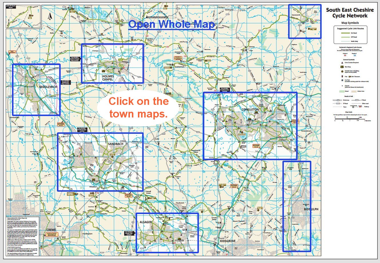
Cheshire Town Cycling Maps
Cheshire East Area Map
Produced by SECCAG (South
East Cheshire Cycling Action Group)
Maps produced by Active Maps Ltd. © Crown copyright and database right 2022 / © SECCAG.

Biddulph Valley Way
(Congleton- Stoke)


